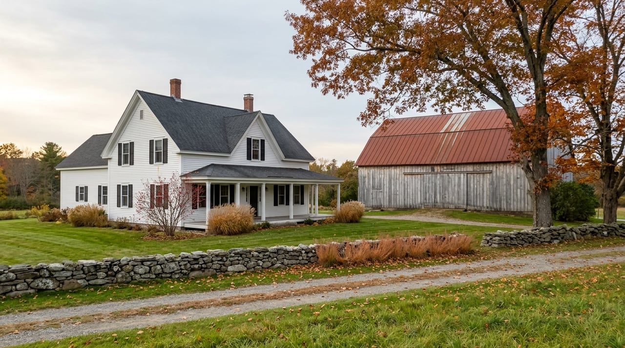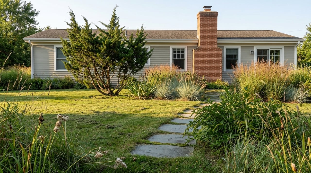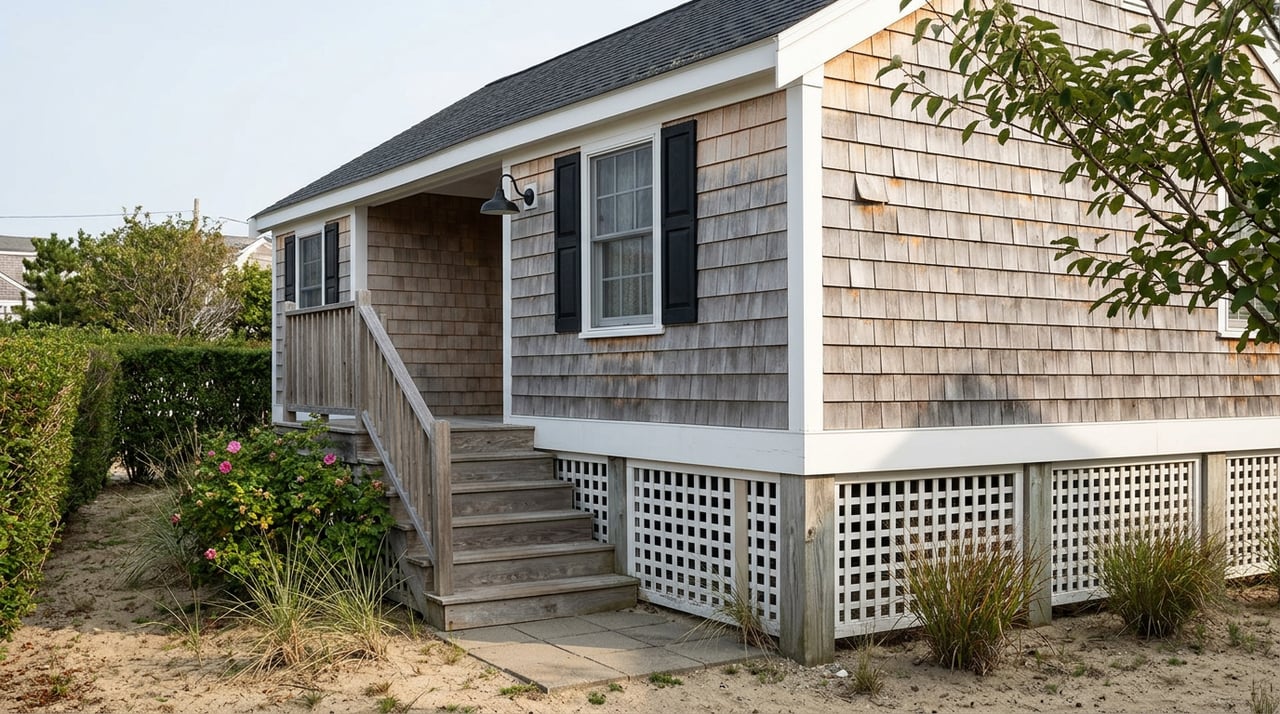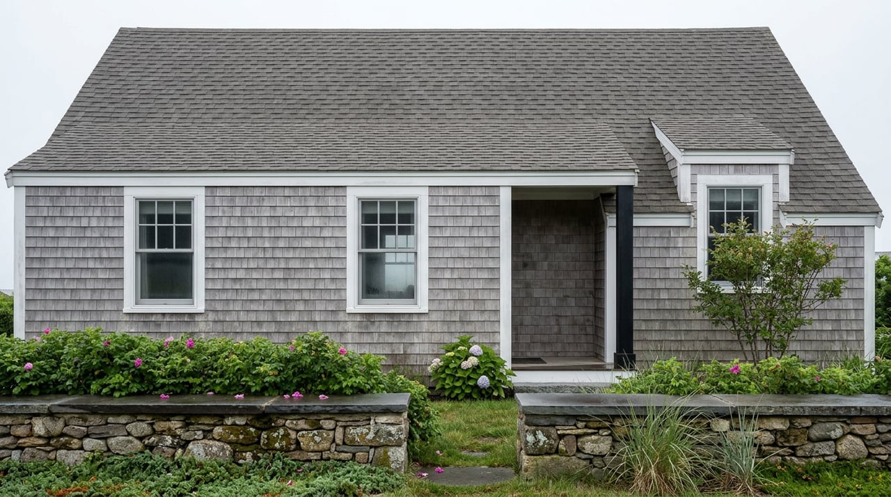
Walk the stretch of Marginal Way between bench 27 and the footbridge near Perkins Cove and you will pass four parcels on Frazier Pasture Road that have spent the past several years at the center of a very public argument about what "private property" means next to a beloved public path. An out-of-state company holds all four lots. One of them, a scant 0.29 acres, sat behind construction fencing with heavy equipment visible on satellite imagery as far back as August 2023, well before most passersby noticed. When the excavation finally became impossible to ignore, walkers started asking a version of the same question in local forums: how does this get built so close to the path?
The honest answer is that it depends entirely on which deed governs that specific lot, and that answer is not something you can determine by walking the trail or scrolling listing photos. It sits in a title history that stretches back more than a century, and it means two houses that look identical from the path can carry fundamentally different rights to the shoreline in front of them.
"Oceanfront on Marginal Way" is not one product
The phrase gets used loosely in listing copy, and buyers hear it as a single promise: a private lot that runs down to the water, with a scenic public trail as a bonus feature at the edge of the yard. That is true for some parcels. For others, it is close to the opposite of what actually sits on the deed.
The distinction traces back to how the path was assembled. Sections of what is now Marginal Way were surveyed as early as 1891 as part of a subdivision plan for summer cottages, where the path was intended as a right-of-way and common space shared by the lot holders in that development, not a public amenity. In 1925, the subdivision's developer, Josiah Chase Jr., changed the arrangement entirely. He donated the path itself and the land between the path and the ocean to the Ogunquit Village Corporation, to be held and maintained for public use. That is a fee donation, not an easement. For the lots that front this original Chase-donated stretch, the town owns the strip between the house lot and the water outright. The private lot's boundary ends at the landward edge of that strip. There is no oceanfront in the deed, only an oceanview, with the town's land and the public path standing permanently between the house and the shore.
Then the path grew. Other benefactors added ten-foot-wide shoreline easements in the late 1950s to extend the corridor to its current 1.25 miles. An easement is a different legal instrument than a donation. The underlying land in those later segments stayed in private hands. The public gained a permanent right to walk a ten-foot strip, but the abutting owner still holds fee title across the full width of the lot, including, in many cases, the frontage down to the water. On this stretch, "oceanfront" can be accurate. You own the beach in front of your house. You also own a ten-foot public sidewalk running through your side yard for as long as that easement exists, which by any practical measure is forever.
Here is the same information side by side:
| Chase donation segments (1925) | Benefactor easement segments (1950s) | |
|---|---|---|
| Who owns the land under the path | Town of Ogunquit, in fee | Private owner, in fee |
| Who owns the land between the path and the water | Town of Ogunquit | Private owner |
| What the abutting lot actually includes | View, not shoreline access | Shoreline access, subject to a public walking right |
| Practical effect for the owner | No ability to build or expand seaward of the path | Buildable envelope can extend closer to the water, subject to shoreland zoning |
Neither structure is better or worse. They are different products wearing the same marketing language, and the only way to know which one you are buying is to have a title company or attorney trace the specific deed language for that parcel back through the relevant grant.
What the Frazier Pasture Road dig actually tells you
The construction that drew so much attention near benches 27 through 34 is a useful case study precisely because it shows what happens when a lot falls on the private-fee side of that line. If the town owned the land in fee at that location, a project of that scale, close enough to the path that walkers described the foundation as running for a long stretch alongside the benches, would not have been something the owner could pursue on their own authority. The fact that the project moved forward as a private construction matter, subject to the town's zoning review and the state's shoreland requirements rather than a public-land approval process, is itself evidence that this segment sits on privately held ground burdened by an easement rather than land the town owns outright.
That is not a legal conclusion. It is the kind of pattern recognition that matters when you are trying to understand what you would actually be buying on a given stretch of the path, and it is exactly the sort of question a title search resolves definitively before you are three weeks from closing.
The maintenance question that comes with the address
There is a second layer to owning near Marginal Way that has nothing to do with which side of the fee line your lot falls on. The path itself took serious damage in the winter storms of 2024, with repairs now estimated at roughly three million dollars. The Marginal Way Preservation Fund, the nonprofit that has covered maintenance costs since it was established in 2010 after an earlier storm, has been raising money to close that gap so the burden does not fall entirely on Ogunquit taxpayers. Its most recent garden party fundraiser brought in more than $350,000 in a single day, ahead of the prior year's total by over $100,000, and met a matching goal that added another $100,000 on top of that.
The path's addition to the National Register of Historic Places in March 2022, credited in large part to the work of the Marginal Way Committee under Chair Joan Griswold and Vice Chair Elaine Cooper, raised its profile and its preservation obligations. None of this changes an individual owner's rights or restrictions directly. What it does change is the surrounding context: a path this well documented, this actively fundraised for, and this closely monitored by a standing town committee is not a quiet trail that might someday get quietly rerouted or abandoned. If your lot's value or privacy depends on the current alignment of the path, plan on that alignment being a permanent feature of your ownership, not a temporary inconvenience.
Before you write an offer or list a Marginal Way property
A few steps make this concrete rather than theoretical.
- Ask your title company to identify the specific instrument that created the public right along your parcel, whether it traces to the 1925 Chase donation or a later benefactor easement, and to confirm in writing which party holds fee title to the strip between your house and the water.
- Request a current survey rather than relying on tax maps or prior owner descriptions. The practical distance between your foundation and the path, and between the path and mean high water, is something a walk-through cannot tell you accurately.
- If you are a seller, have this documentation ready before you list. A buyer's attorney will eventually ask the same questions this piece just asked, and having the answer already assembled avoids a scramble during the diligence period.
- If new construction or a major renovation is part of your plan, confirm your buildable envelope against both the shoreland zoning setback and whatever the specific grant language allows on your side of the path, since the two documents do not always align neatly.
None of this is legal advice, and a title attorney or Maine-licensed real estate attorney should confirm the specifics for any individual parcel. What it is meant to do is tell you which questions to ask before you are emotionally attached to a house and financially attached to an offer.
FAQ
Does the town own all of Marginal Way? No. The town holds the path itself and, along the original 1925 Chase donation, the land between the path and the ocean. Along stretches added later by other benefactors, the underlying land remains privately owned and is instead burdened by a ten-foot public easement.
Can a private owner ever close or reroute the path where it crosses their land? The public right established by the relevant donation or easement runs with the land and does not expire with a change in ownership. A title review will show exactly what was granted and whether any conditions attach to it.
Does the National Register listing restrict what I can build on my own property near the path? The 2022 listing recognizes the path's historic significance and supports its preservation funding. It does not, by itself, impose restrictions on privately owned abutting parcels, which remain governed by the town's zoning ordinance and Maine's shoreland regulations.
If you are weighing a purchase along Marginal Way, or thinking about what your own property there is actually worth given its specific deed history, Brooke Peterson can help you get the title question answered before it becomes a closing-table surprise. Request Your Instant Home Valuation to start the conversation.